Engineering a safer landscape
How can battle management software mitigate the risks posed by landmines and explosive remnants of war?
Landmines have long been a battlefield tool for denying an area to an opponent, helping to deter an attack, by forcing attackers to use less favorable terrain, or fixing a force so it can be struck by combinations of direct and indirect fire.
A low cost and easily produced defensive weapon, anti-personnel and anti-tank mines have been widely used in conflicts around the world. Countries such as Ukraine, Somalia, Libya, Afghanistan, Bosnia & Herzegovina, Iraq, and Libya rank amongst the most mined nations in the world due to long-running civil and international wars.
So how can a battle management system such as the SitaWare suite help to support troops on the battlefield or in peacekeeping operations, as well as long-term peace and security?
Globally, land mines and explosive remnants of war (ERW) affect:
Mine bans and realities
Since the 1980s, concerted global political efforts have worked to limit, reduce, and outlaw the usage of anti-personnel landmines in armed conflict. These efforts culminated in the signing of the Convention on the Prohibition of the Use, Stockpiling, Production and Transfer of Anti-Personnel Mines and on their Destruction of 1997, more commonly known as the Ottawa Treaty or Mine Ban Treaty, which banned the use, production, transfer, and stockpiling of anti-personnel landmines. By March 2025, a total of 165 countries had ratified or acceded to the treaty, helping to reduce the use of anti-personnel mines in conflicts.
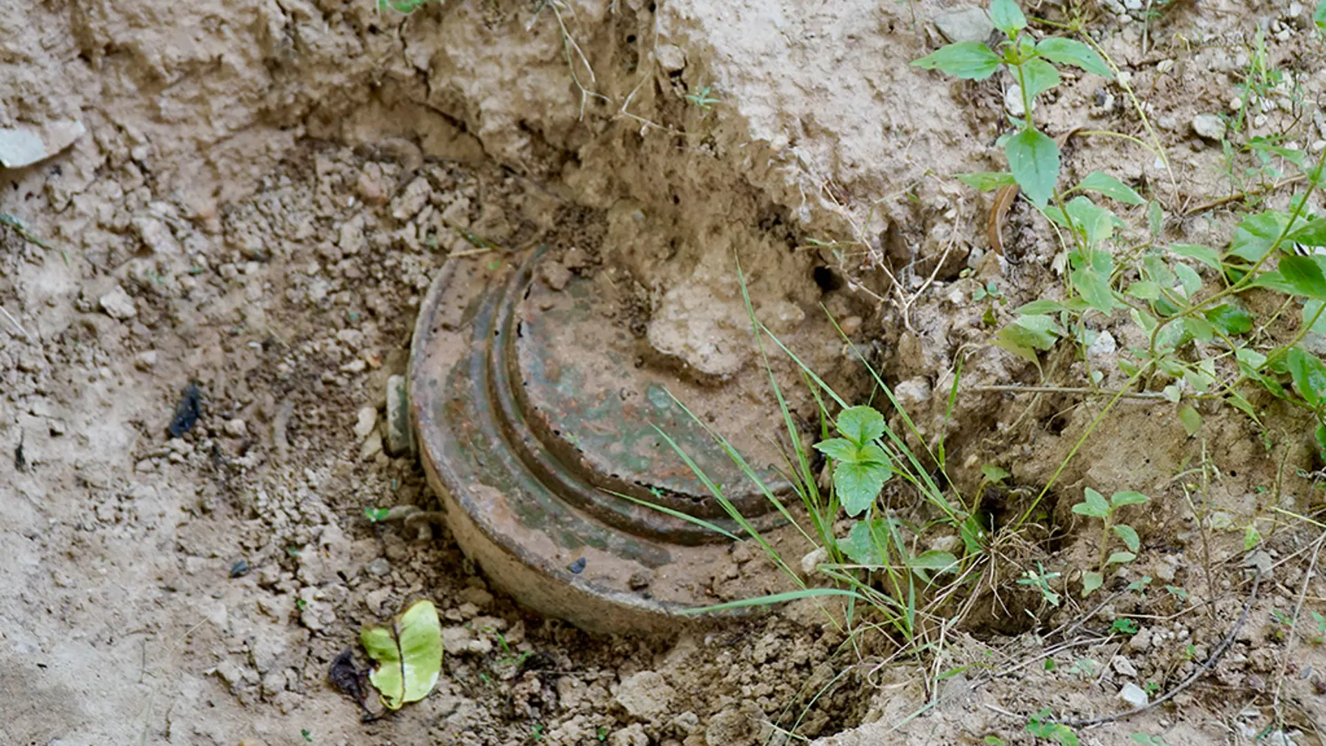
The threat of landmines has not, however, disappeared. Legacy minefields – both formally mapped and undiscovered – continue to pose a threat in a post-conflict world. The addition of other unexploded munitions, such as aircraft bombs, cluster munitions, or artillery shells, create further threats to safety. Known as explosive remnants of war (ERW), these add a further burden to both military and peacekeeping operations and post-conflict reconstruction.
Landmines are also returning to the fore as a key defensive capability. Following the invasion of Ukraine by Russia in 2022, Estonia, Latvia, Lithuania, Finland, Poland, and Ukraine have moved to withdraw from the treaty. Major countries, such as China, the United States, and Russia are not signatories to the treaty.
The long-term impact: Ukraine
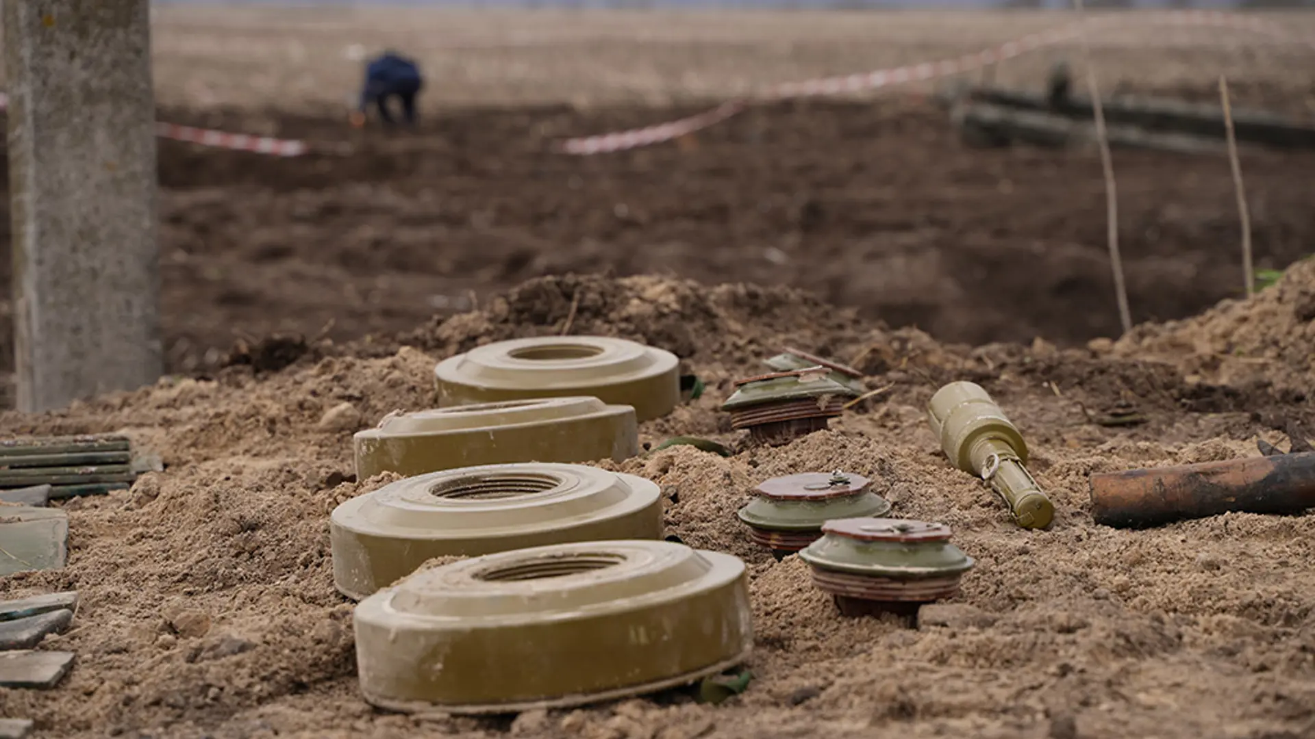
Since Russia’s initial military invasion of Ukraine in 2014, and full-scale invasion of 2022, landmines have become a major feature of the conflict – making it one of the most mined countries in the world.
The landmine and ERW threat to Ukraine:
The continued conflict, which has involved a wide range of munitions, also means that there is a high risk of ERW being a long-term issue. According to the World Bank’s 2024 Ukraine Recovery and Reconstruction Needs Assessment report, the post-conflict clearance of ERW will take over 10 years to complete. The anticipated cost of this activity will equate to 6% of the anticipated USD486 billion reconstruction costs over a ten-year period.
Assessments over the last three years have seen the anticipated costs decline. Improvements in surveying technology has helped to reduce the size of areas believed to be contaminated by ERW, allowing for better planning and management of the project now and into the future.
The process does however, have medium-term economic impacts. Referred to as the “bread-basket of Europe,” Ukrainian agriculture faces challenges as the battlefield is in the country’s fields and hedgerows. In the Kharkivska region, for example, ERW has caused a 42% decrease in usable cultivated land. When examined with the rest of the country, the impact of ERW leads to an overall loss in government taxation revenue of 9.2% - or USD1.1 billion - when compared to 2021. This economic toll can reduce the ability of a government to support their long-term reconstruction and social welfare spending, potentially leading to a greater requirement for foreign economic and political aid.
Monitoring in military operations
The move towards digitalized battlefield operations presents an opportunity for enhanced landmine and ERW awareness. In a digital environment, collation and distribution of a threat picture is simplified and gives greater access to life-saving information. Retaining records in a paper-based format increases the likelihood of intelligence not being passed on to other troops and de-mining teams, as the collective memory on the location and type of a minefield can be lost during dynamic operations.
Improvements in geospatial data creation, dissemination, and storage helps to retain knowledge and centralize information that can be used in the short-term for operations, as well as in the long-term post-conflict environment. Military mapping holds a solution for successfully monitoring landmines and ERW. Symbols found in the MIL STD-2525 catalogue allow for the labelling of individual mines, as well as minefields, on land and at sea. The SitaWare suite’s use of standardized symbology means that developing a threat picture is simplified, with synchronization ensuring that it can be rapidly shared around the battlespace.
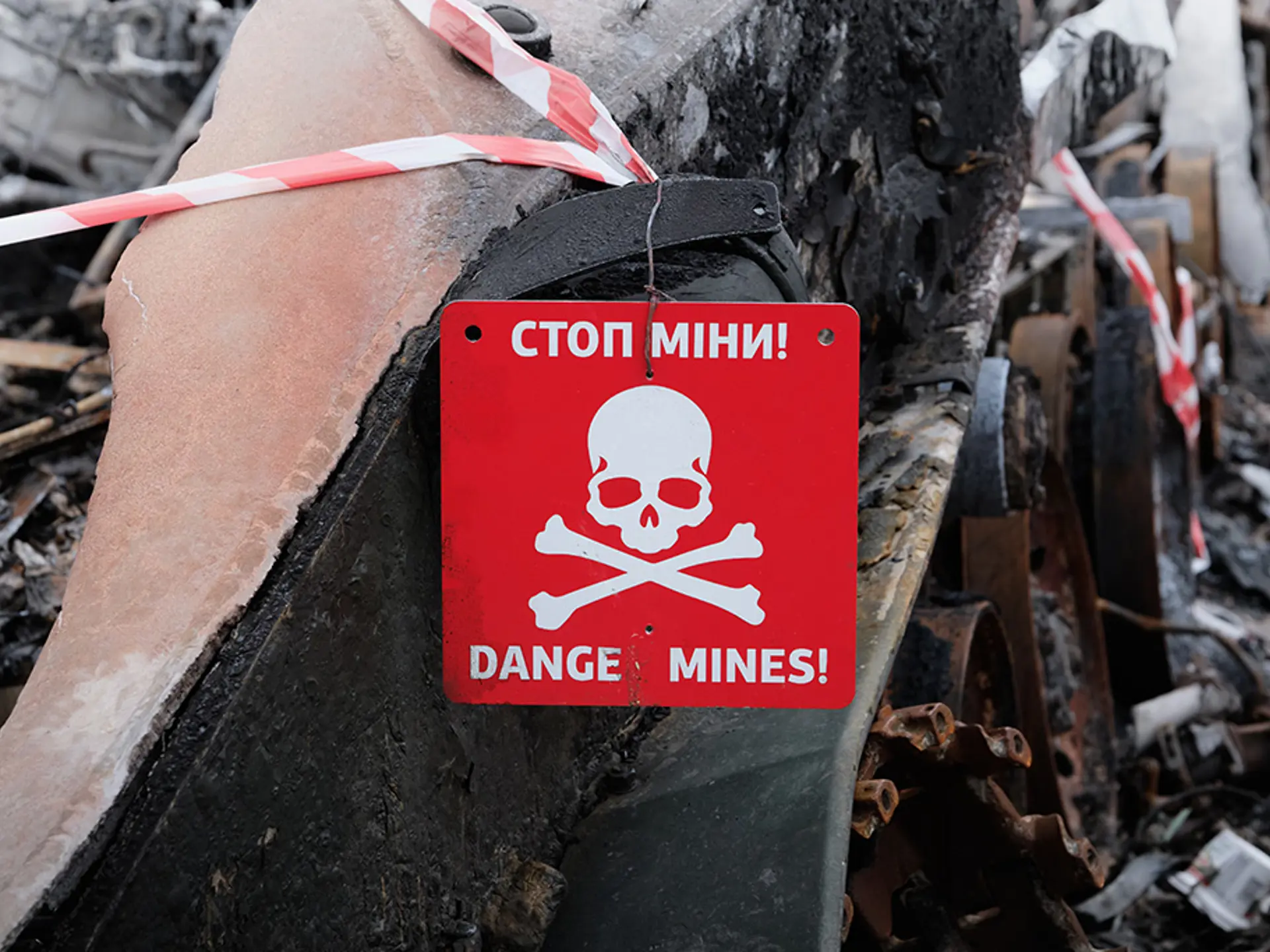
Geofencing areas of known minefields also enables the alerting of mobile forces using SitaWare Frontline and SitaWare Edge to prevent accidentally straying into a minefield, both laid by an enemy or by friendly forces. This is especially important where minefields have been hastily laid, or warning signs fail to follow international conventions. In the Balkans war, for example, minefields were often only marked by an upside-down drink can on a stick.
Artificial intelligence (AI) can also play a significant role in supporting minefield surveying and awareness. Advancements in surveying technology, such as small form radars and LIDAR systems that can be mounted on small UAVs, give the ability to clear and make safe contaminated ground swiftly. Computer vision can also help with the identification of threats to assist explosive ordinance disposal (EOD) teams. SitaWare Insight’s AI capabilities give operators the ability to monitor areas by geospatial interest, and be notified of changes in minefields that can help with offensive and defensive operations.
SitaWare Insight’s open architecture also allows for users to bring additional EOD-specific AI agents that can identify landmines and ERW, with the data then fed into the data lake for processing. Data stored in a data lake on landmines can further assist in developing lessons learned about an area of operations, as well as build a threat picture through the identification of laying patterns, methodology, and changes to explosive devices.
SitaWare’s white-picture generation capabilities also give military users the opportunity to share landmine and ERW information with civilian teams. In a benign post-conflict environment, security around intelligence sources may be less critical than in wartime. In operations other than war, such as peacekeeping, sharing an accurate declassified threat picture can help ensure safer EOD operations while maintaining sourcing security.
Explore more blogs
 Why integrated Air C2 is critical to unlocking NATO’s Multi-Domain ambitionSystematic's Mads Würtz shares his take on Air Command & Control acting as real enabler of Multi-Domain Operations in coalition contexts. When the recognised air picture and air planning processes are disconnected from land manoeuvre, maritime operations, or ground-based air defence, friction emerges exactly where speed is most critical.Read more
 The future of C2: Lessons from Ukraine, the push for speed, and the case for sovereigntyAn excerpt from Michael Holm's appearance on the Command and Control PodcastRead more
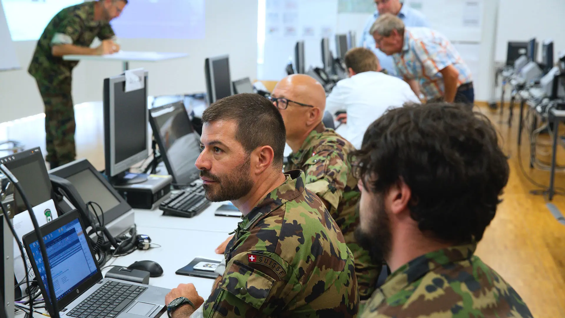 C2 for deterrence?Deterrence does not demand a separate command-and-control system, but rather a more credible, integrated, and wartime-ready form of C2 capable of spanning multiple domainsRead more
 Command and Control transformation in the Middle EastAcross the Middle East, the transformation we’re witnessing mirrors global trends: integrated networks, data-driven decision-making, AI, and joint interoperability are no longer optional — they are imperative.Read more
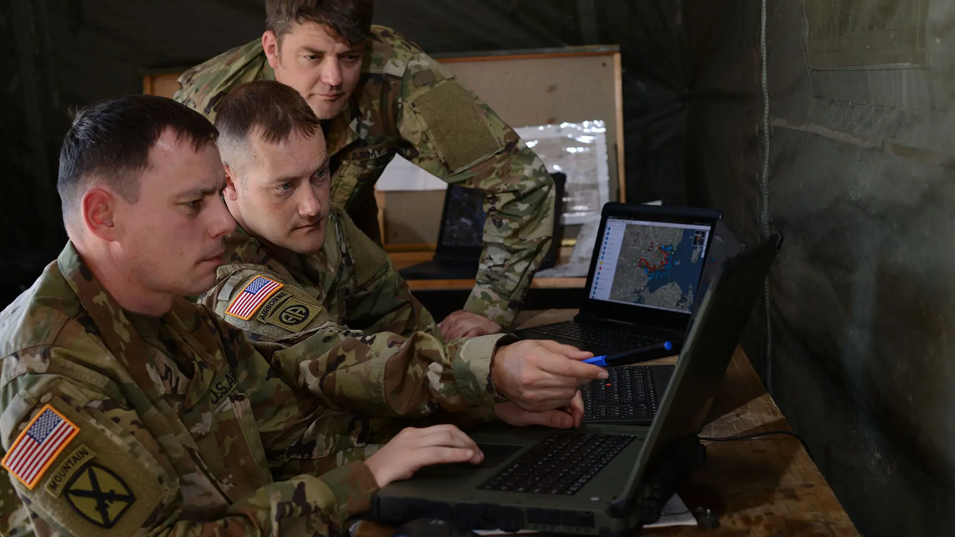 Frankenstein, JADC2, and the future of warfighting acquisition: An industry perspectiveWithout disciplined architecture and unified standards, the future of command‑and‑control risks becoming a Frankenstein of mismatched systems rather than a coherent warfighting capability.Read more
 Technical interoperability in contested environments is a mustThe U.S. Navy must prioritize both seamless interoperability with allies and resilience in contested communications to ensure credible combat power at seaRead more
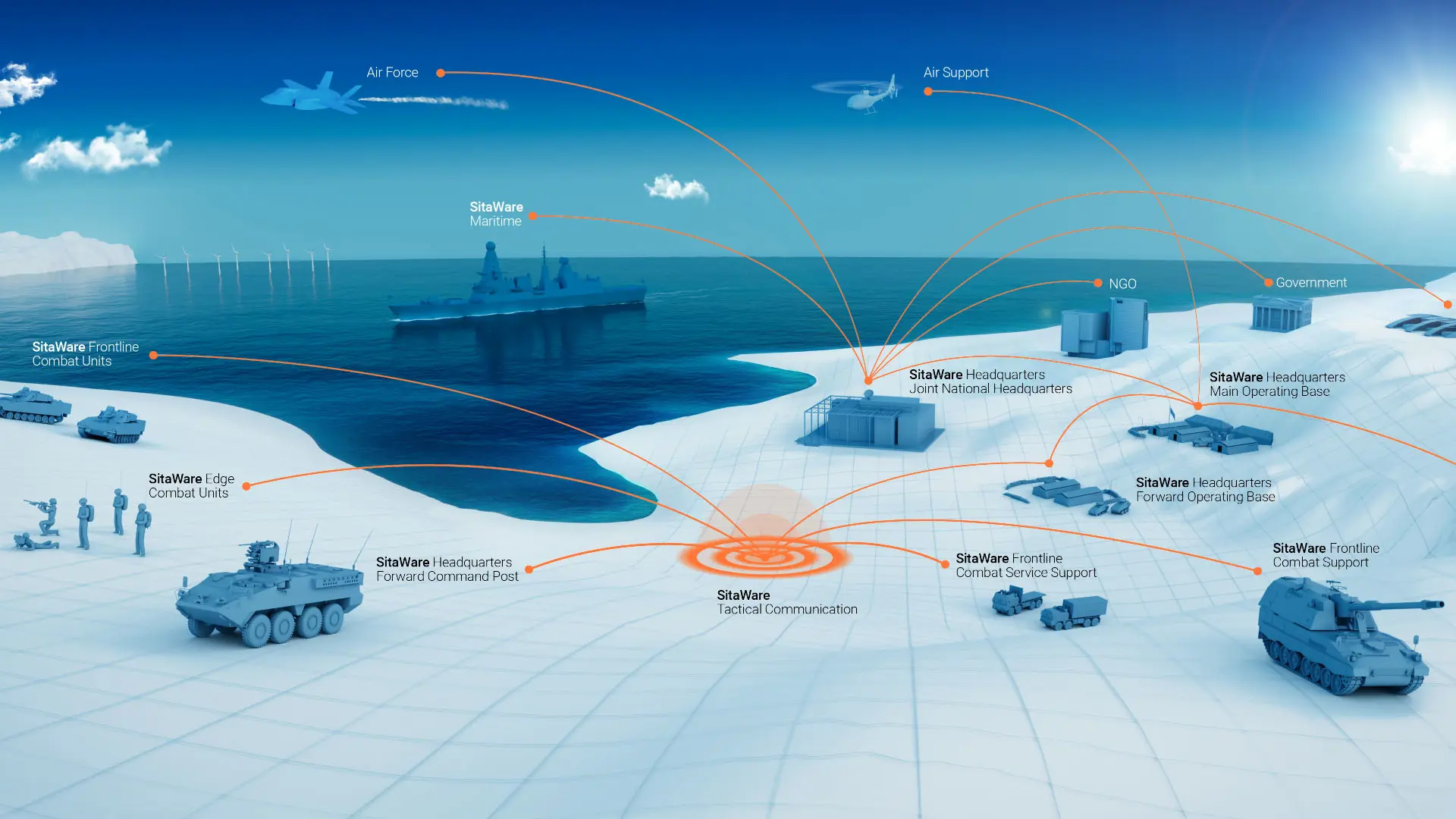 From concept to capability: Multi-Domain OperationsSupporting NATO in its evolutionary digital journeyRead more
 Joint Fires: Surviving and exploiting the most lethal capability on the battlefieldShaping the future of joint fires: Insights from former royal artillery colonel, Tim VenthamRead more
Newsletter
Cannot see the form?
Your privacy or security settings may be blocking the form.