Enhancing battlespace geospatial data and visualization
Latest SitaWare update delivers new mapping tools and data feed imports
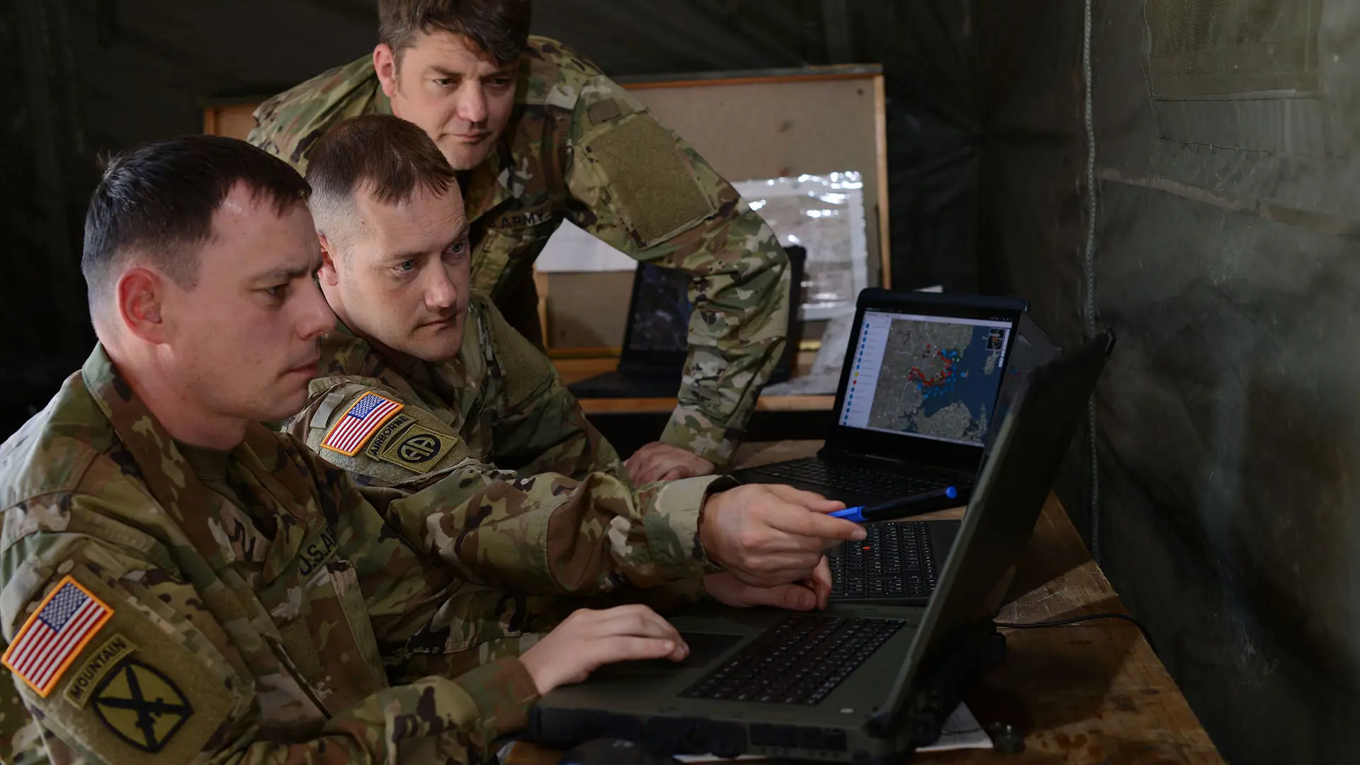
Understanding geography is a key part of military operations. This information can range from the physical landscape that a land force may be deployed in, to the weather that can change the timing of operations and the conditions that forces may have to deal with. Processing and presenting geospatial data is a fundamental part of any battle management system, as it delivers data to a map to allow for battlefield awareness.
The SitaWare suite’s latest updates give commanders at all levels access to more geospatial information tools to ensure that accurate position data can be synchronized around the battlespace. This provides an enhanced overview for planning and operations, as well as the ability to present richer overlays on maps to communicate an enhanced common intelligence picture.
Increasing data opportunities
SitaWare Headquarters now supports the ingestion of data using the WMS-T (Web Map Service-Time) format. WMS-T data covers dynamic information that can change over time, such as weather. Using a time slider to view these changes, users are able to observe changes over time, and forecasts for the future.

“Weather can play a significant factor in how military operations are conducted. Delaying an action due to heavy rain, or moving an operation forward to avoid other kinds of adverse weather can be crucial to ensuring mission success,” says Bo Tang Lærke, Senior Product Manager for Systematic Defence. “By adding in a data ingestion protocol such as WMS-T, users can gain an appreciation of changes over time that can also help to support intelligence-led operations.”
Support for Keyhole Markup Language (KML) and compressed KMZ files has been further extended, with SitaWare Headquarters users able to import KML and KMZ files into the platform as layers, and include them in pictures. This gives users the opportunity to continue to enrich their geospatial intelligence (GEOINT) for sharing across user groups.
Enhancing elevation visualisation
Mission planning capabilities and situational awareness have also been developed further. Utilizing elevation data, users are able to create a slope overlay or map, and then set color schemes based on gradients. When used in conjunction with SitaWare’s other spatial awareness capabilities, such as the line-of-sight tool, commanders are able to create and deliver plans for defensive and offensive operations taking full account of the fundamentals of military geography.
“The ability to identify elevation points for SitaWare Headquarters, as well as render slopes and gradients into an easier to read format For SitaWare Headquarters, means that operators across the battlespace can continue to improve their geospatial situational awareness. Elevation data is essential for delivering support such as fires missions, identify optimal locations for observation and communications, as well as helping with mission planning to ensure that movement orders and timings are practical,” says Lærke.
These enhanced data capabilities further allow the ease of delivery of GEOINT into the SitaWare suite, and allow for them to be interpreted by a wider range of users more easily.
For more information on this latest update to the SitaWare suite, contact Charles Forrester, Communications Manager (Defence) at Charles.Forrester@systematic.com.
Latest news
Newsletter
Cannot see the form?
Your privacy or security settings may be blocking the form.


