
How can you ease your APP-11 burden?
SitaWare Maritime helps to expedite and automate your reporting and planning workflows
Managing complex operations and manoeuvres – for standard operations, exercises, and operational deployments – comes with a significant burden to planning staff. Operational staff also have to manage these similar processes, but with much faster turnaround times. Key to many of these processes is the APP-11 Message Text Format (MTF). Manual development and delivery of these messages is time consuming, and in certain operational environments can pull critical technical staff away from tasks where their knowledge is most needed.
For operators in the maritime domain, APP-11 is the default messaging format. Its catalogue of over 400 messages follows a logical and unambiguous structure, delivered in a way that helps to minimise the pressure on bandwidth. As it is constantly re-evaluated and maintained by a standing working group, the requirements of the user community are updated and re-baselined on a regular basis.
Systematic has long supported the APP-11 user community through its IRIS suite of software, enabling users to create, transmit, and receive APP-11 messages and import the data content into their command-and-control (C2) systems.
However, the length of time it takes to develop and deliver a message can lead to delays in operations and planning. Additionally, manual entry of information into a messaging system can lead to errors caused by incorrect values being entered, such as location coordinates. Realising an error has been made and correcting them costs additional time, which can be a major problem when dealing with life-threatening situations. So how can users work faster and more accurately?
A fully visual suite
SitaWare Maritime provides users with the means to automatically generate APP-11 messages based on the visual tools within the suite. With a fully graphical user interface, users can develop plans and orders using the geo-planning tools, and subsequently turn this into the correctly encoded APP-11 messages created in the correct formats for distribution at the click of a button.
This parsing from the graphical user interface directly into the correct APP-11 message also works the other way around: Users can receive an APP-11 message and directly import and display it in the SitaWare Maritime graphical user interface, without having to manually type in the data (e.g. coordinates, units, dates). This saves additional time and prevents errors.
Improved operational efficiency and awareness
Working in a visual environment also allows for the aggregation of additional data streams to ensure that nothing is left to chance. Synthesising a variety of maritime data, such as planned subsea cable repairs, can help with understanding the risks around surface and subsurface operations. It is in this subsurface space that efficient and accurate planning is essential – a task that SitaWare Maritime can support.
“Water Space Management (WSM) and Prevention of Mutual Interference (PMI) are critical capabilities for the safe coordination of the movements and operations of submarines and other vessels,” said Stig Meyer, Product Manager for SitaWare Maritime.
“That’s why we have paid particular attention to this aspect. Now operators can create a moving haven for the area in which a submarine will operate, and pin that to a pre-planned route. This will automatically calculate the position of the submarine as it travels by calculating the distance and speed.”
“This then becomes visible for all users of SitaWare, informing their situational awareness and allowing them to plan their own movements safely and effectively. It’s an important feature in the software and one that we think our customers will greatly benefit from as a result.”
In creating these movement operational plans for submarine operations, SitaWare Maritime creates the necessary APP-11 messages and adds them to the plan. Being in a recognised format for interoperability, the ability to disseminate the track information to coalition and alliance partners can help with developing a wider Recognised Maritime Picture (RMP), allowing for the smarter disposition of assets for sub-surface operations.
Explore more blog posts
 Autonomous advantage: How SitaWare is advancing agentic AIFrom data challenges to domain expertise, Systematic is building the agentic AI capabilities that tomorrow's militaries will depend onRead more
 Customer first, always: How Systematic's mission-driven approach shapes command & controlSystematic founder Michael Holm shares why the best command and control systems are built around real user needs, operational experience, and true data sovereigntyRead more
 Agentic AI: Opportunities and challenges in a changing battlespaceHenrik Sommer on why agentic AI is a force multiplier and why those who ignore it will be left behindRead more
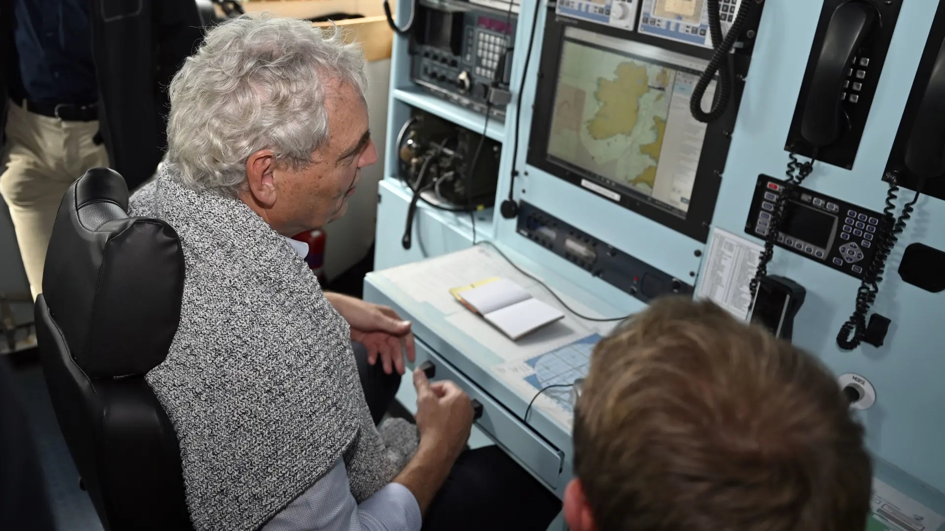 The interoperability problem: Michael Holm on why allied forces still can't talk to each otherAn excerpt from Michael Holm's appearance on the Command and Control PodcastRead more
 Why integrated Air C2 is critical to unlocking NATO’s Multi-Domain ambitionSystematic's Mads Würtz shares his take on Air Command & Control acting as real enabler of Multi-Domain Operations in coalition contexts. When the recognised air picture and air planning processes are disconnected from land manoeuvre, maritime operations, or ground-based air defence, friction emerges exactly where speed is most critical.Read more
 The future of C2: Lessons from Ukraine, the push for speed, and the case for sovereigntyAn excerpt from Michael Holm's appearance on the Command and Control PodcastRead more
 C2 for deterrence?Deterrence does not demand a separate command-and-control system, but rather a more credible, integrated, and wartime-ready form of C2 capable of spanning multiple domainsRead more
 Command and Control transformation in the Middle EastAcross the Middle East, the transformation we’re witnessing mirrors global trends: integrated networks, data-driven decision-making, AI, and joint interoperability are no longer optional — they are imperative.Read more
Newsletter
Cannot see the form?
Your privacy or security settings may be blocking the form.