Fusing for effect: The case of the Yi Peng 3
Deploying intelligence software can help with faster identification of threats and effects.
In late 2024, the Chinese-flagged bulk carrier Yi Peng 3 drew international attention for allegedly cutting two underwater data cables in the Baltic Sea.
An investigation by the Swedish Accident Investigation Authority (Statens haverikommission) released in April 2025 reported that the vessel had dragged an anchor over a distance of 180 nautical miles in one-and-a-half days, with the ship’s crew claiming it had been unintentional.
Prior to the incident, tracks of the vessel in the Danish Kattegat strait showed an uncharacteristic slowing and short change of direction of the vessel in the area near a subsea cable linking Denmark and Sweden, but without any effect on the communications between the two countries.

These events came during a period of increased sensitivity over seabed security among Baltic Sea states. This followed other seabed cable interdiction incidents, including the damaging of the Balticconnector natural gas pipeline and EE-S1 telecommunications cable between Finland and Estonia in late 2023, and the cutting of the Nord Stream gas pipelines in 2022.
Historically, naval staff have focused on tracking military contacts and how they can have a bearing on national security. The combination of increased civilian tracks that could impact on naval operations, and the potential use of civilian vessels to undertake offensive operations through hybrid warfare doctrine, means that there is now a broader requirement for full situational awareness of the maritime environment.
Whether maritime safety issue, critical infrastructure threat, or worse, how can software support monitoring suspicious maritime activity that could have much wider societal implications?
Keeping tabs on many levels
Identifying objects of interest helps to narrow down the monitoring requirements. Creating alerts for particular vessels means that operators can focus on the bigger picture while remaining informed of the actions of targets, or activity in protected areas.
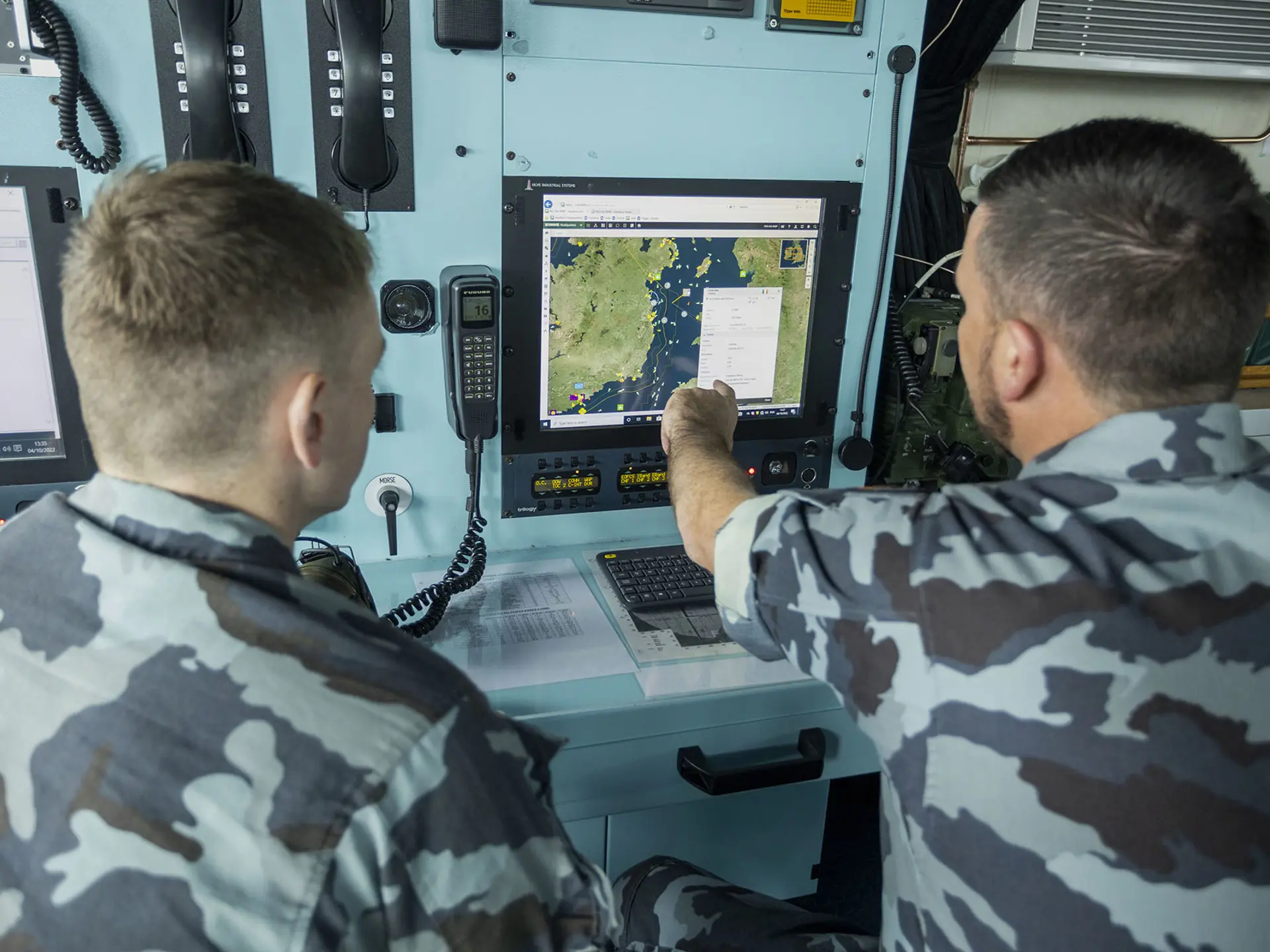
SitaWare Maritime users are able to develop lists of vessels of interest, enriching this list with additional information from open-source data feeds from an equipment database. This can include images to help with recognition of a vessel, recent port call data, planned movements, and location. This data is then combined into a single record to help improve profiling and delivery through a single screen.

Taking a global view, operators in a national maritime operations centre (MOC) can keep track of vessels suspected of being part of a hostile country’s shadow fleet. While a profiled vessel may not enter the waters of a country, tracking its contacts and activities in other areas can help to bolster security interests well over the horizon.
In deploying SitaWare Maritime Fusion, operators are able to keep track of contacts-of-interest and create alerts within their headquarters environment. Alerts can be set around specific areas, such as subsea cable paths or windfarms, to let MOC staff know when there are incursions that need to be investigated.
Merging Fusion with AI
Combining SitaWare Maritime Fusion with SitaWare Insight allows the unlocking of a major investigative tool. Leveraging a data lake of historical tracks and other data, naval staff are able to receive greater support and alerting capabilities through the generation of pattern-of-life pictures. In the case of the Yi Ping 3 and other cable interdiction events, alerts around deviations from routine shipping lanes, decelerations, and fixed geographical objects such as subsea cables can be created.
The use of AI to merge together open-source data feeds and military systems, ranging from a ship’s automatic identification system (AIS) to radar feeds using the OTH-Gold standard, gives redundancy to maritime surveillance operations. Both SitaWare Fusion and SitaWare Insight possess this capability, allowing for continuity in surveillance and reconnaissance operations as well as increasing the fidelity of vessel track data.
Relying on vessel self-reporting processes, such as AIS broadcasting, is problematic for those seeking to monitor vessel traffic. Vessel crews can switch off their AIS broadcasting to cover up illegal activity, while jamming and spoofing can also interfere with this data source. Having backup data streams allows naval staff stability in their monitoring processes and improved situational awareness.
Maintaining the track data developed from these feeds in a data lake can help with the long-term comprehension of maritime traffic, identify anomalous behaviour, and deliver an improved recognised maritime picture for future reference.
Looking beyond the threats to critical national infrastructure and maritime security, the creation and delivery of pattern-of-life activity can also help with civilian security operations, such as search-and-rescue operations, counter-narcotics, counter-piracy, and fisheries protection.
Read more about SitaWare in the maritime domain
Newsletter
Cannot see the form?
Your privacy or security settings may be blocking the form.


