Leveraging data provides the map for Arctic operations
As the ice caps melt the High North is becoming more accessible and attractive for political, military, and commercial ends.
The opening of this highway reduces the distance for ships travelling from the Western Pacific by around 4000 miles, saving time and resource. Its natural beauty attracts tourists, its abundant reserves of oil, gas and minerals attracts commerce, but it is the strategic positioning that makes the Arctic attractive for military purpose.
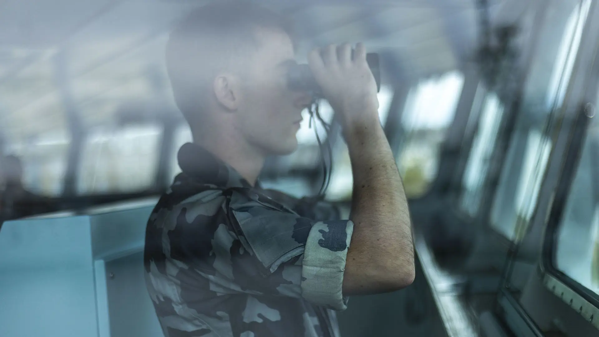
Yet for any nation to successfully operate within the vast wilderness of such an unforgiving, hostile environment – the building of situational awareness is the biggest, and most crucial, hurdle to overcome.
With little infrastructure, extreme weather conditions and the sheer scale of the region, gathering information of any kind is a challenging endeavour.
Harness existing intelligence
As nations begin to focus their military and strategic focus on the High North, the ability to understand the environment and build a common operational picture is paramount. Intelligent systems are needed – multi-domain solutions that can draw on as much existing data as possible to provide unparalleled analysis and decision support to operate safely within such an environment.
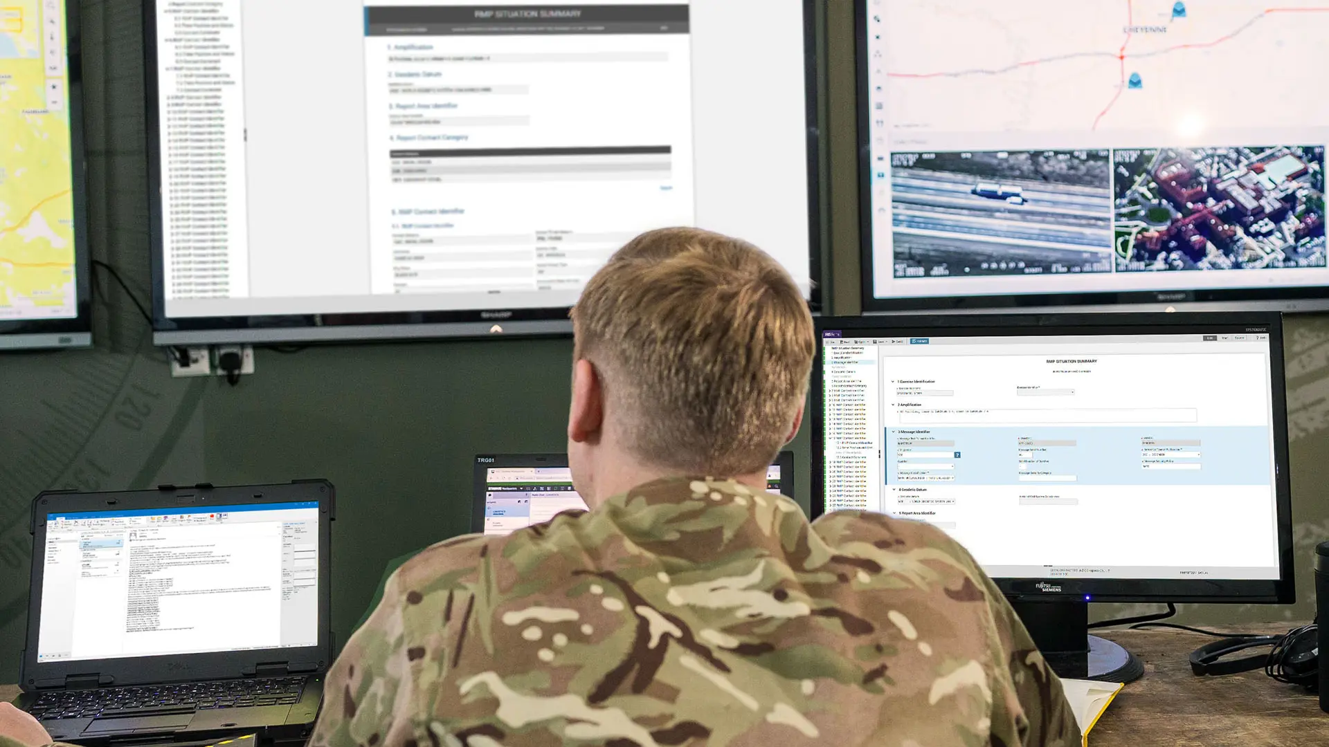
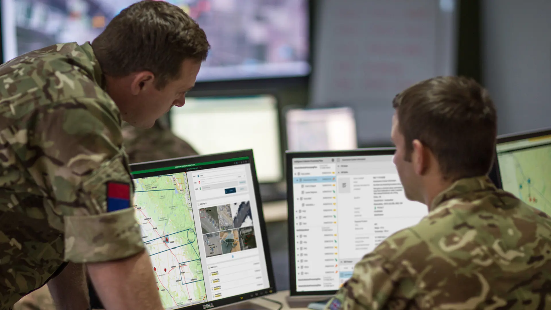
By combining feeds from military ground-based sources, Automatic Identification Systems (AIS), manned and unmanned aircraft, naval vessels and satellites, C4ISR systems such as SitaWare can build a multi-faceted COP. And with Systematic’s intelligence solution SitaWare Insight – non-military data can also be incorporated to provide a much more advanced, holistic overview.
The inbuilt Artificial Intelligence uses machine learning to constantly update its understanding – distinguishing between icebergs and vessels for example, and identifying anomalies above, on and below the surface.
This can assist across a multitude of operations including search and rescue – which is only becoming more likely with more operators in the Arctic. The vast loneliness of the landscape coupled with inexperienced crews and a lack of infrastructure can make this type of operation near impossible.
But by harnessing data from across all sources and using AI to quickly process, filter and diagnose, the likelihood of a successful rescue is greatly enhanced.
Heightened polar ambitions
There are eight Arctic States defined by the Ottawa Declaration as members of the Arctic Council, all of which have a direct responsibility for the governance of their territories.
Infrastructure and systems are already established in the region – and while currently they are few, the Arctic is mentioned as one of the top five priorities for the Danish government’s foreign & security policy for example, which brings additional resourcing.
In 2021 Denmark established a $230million ‘capacity’ package for new satellites, drones, radars and associated technology. And in March 2022 both the Danish and Norwegian prime ministers agreed there was potential to co-operate on their mutual interests in the region.
And while Denmark and Norway are considering how best to operate – and co-operate - in the High North, they are not the only ones flagging an interest. Russia is continuing to militarise its territories in the region, optimising its air defence assets, coastal defence systems, radars and basing its Northern Fleet on the Kola Peninsula to the west.
It is therefore more important than ever for all military assets operating in the region to have a clear understanding of what infrastructure exists, of who else is operating nearby and how best to share and combine information.
Co-operation across alliances
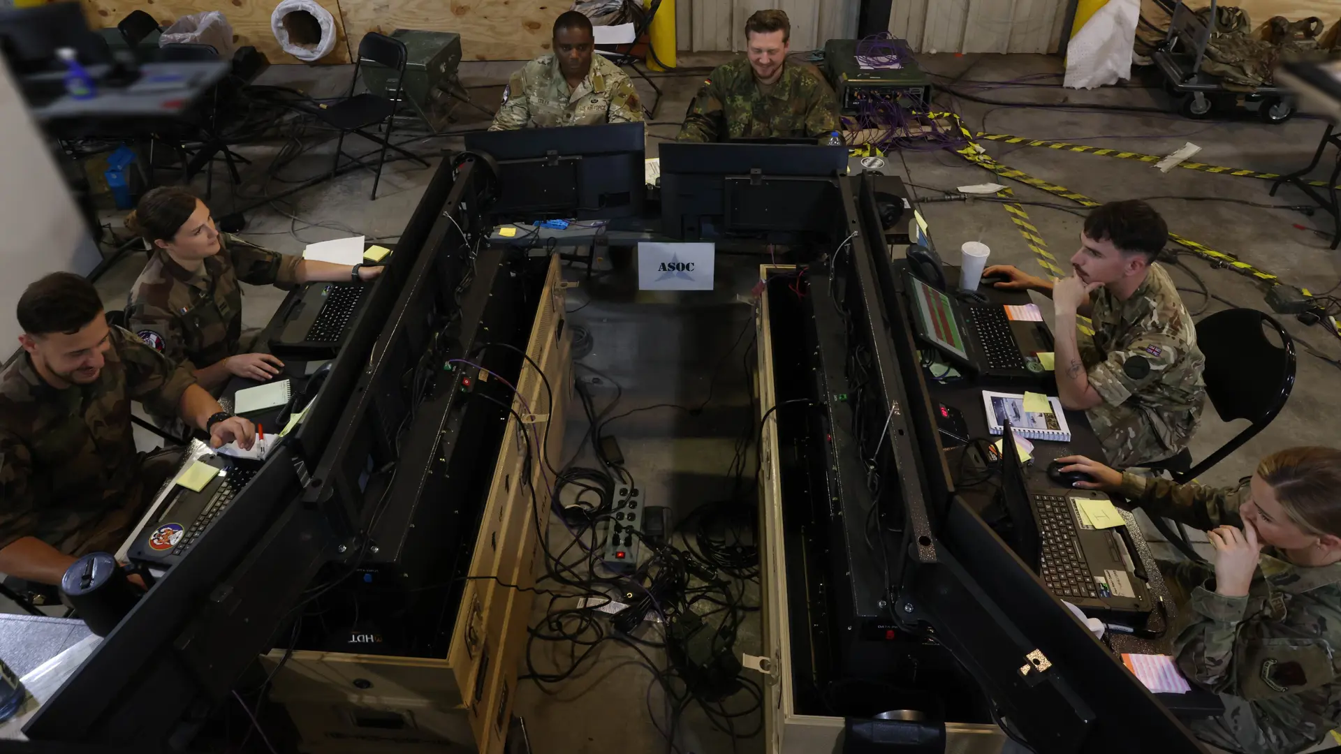
SitaWare Headquarters provides an unmatched ability for forces to work together and share information. An advanced C4ISR system it allows the exchange of data and plans across coalitions and joint networks as well as across all levels of command within its own network.
Built with an open architecture it can also be customised with extensions that allow it to integrate with legacy and third-party systems to increase that operational flexibility needed when moving into new territories.
As ambitions grow, so must the requirement for sophisticated, intelligent technology that can safely allow forces to operate in an arena fraught with risk. A complete situational awareness that provides commanders with the confidence to operate and navigate the High North is achievable – but only with the right tools, and the right expertise in place.
For more information please contact Samantha Chapman, Defence Communications Manager, at samantha.chapman@systematic.com.
